 vesseltracker.com
Find the position of the vessel KARIN HOEJ on the map. The latter are known coordinates and path.
marine traffic ship tracker show on live map
The current position of vessel KARIN HOEJ is 55.22599 lat / 14.24842 lng. Updated: 2021-12-13 01:25:10 UTCCurrently sailing under the flag of Denmark
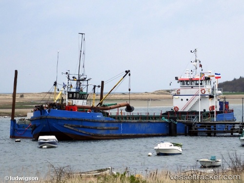
KARIN HOEJ built in 1977 year
Deadweight:
492 tDetails:
Last coordinates of the vessel:
2021-12-13 01:25:10 UTC, 55.22599, 14.24842, course: 215, speed: 6Track of the vessel in the last 14 days
The ship also appears on the maps: